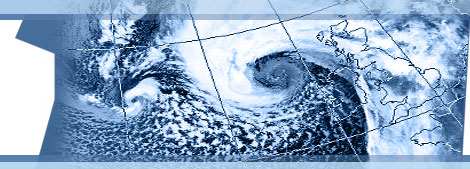
Northeast Atlantic Region Forecast Charts
Charts for the fields below are provided every 6 hours out to 72 hours (3 days).


|
|
Northeast Atlantic Region Forecast ChartsCharts for the fields below are provided every 6 hours out to 72 hours (3 days). |
| Contact: Enda O'Brien Parallel Programming Services Aille, Barna, Co. Galway, Ireland. |
Mobile: +353 87 751 7969 Email: |